Challenge
Scotland, United Kingdom
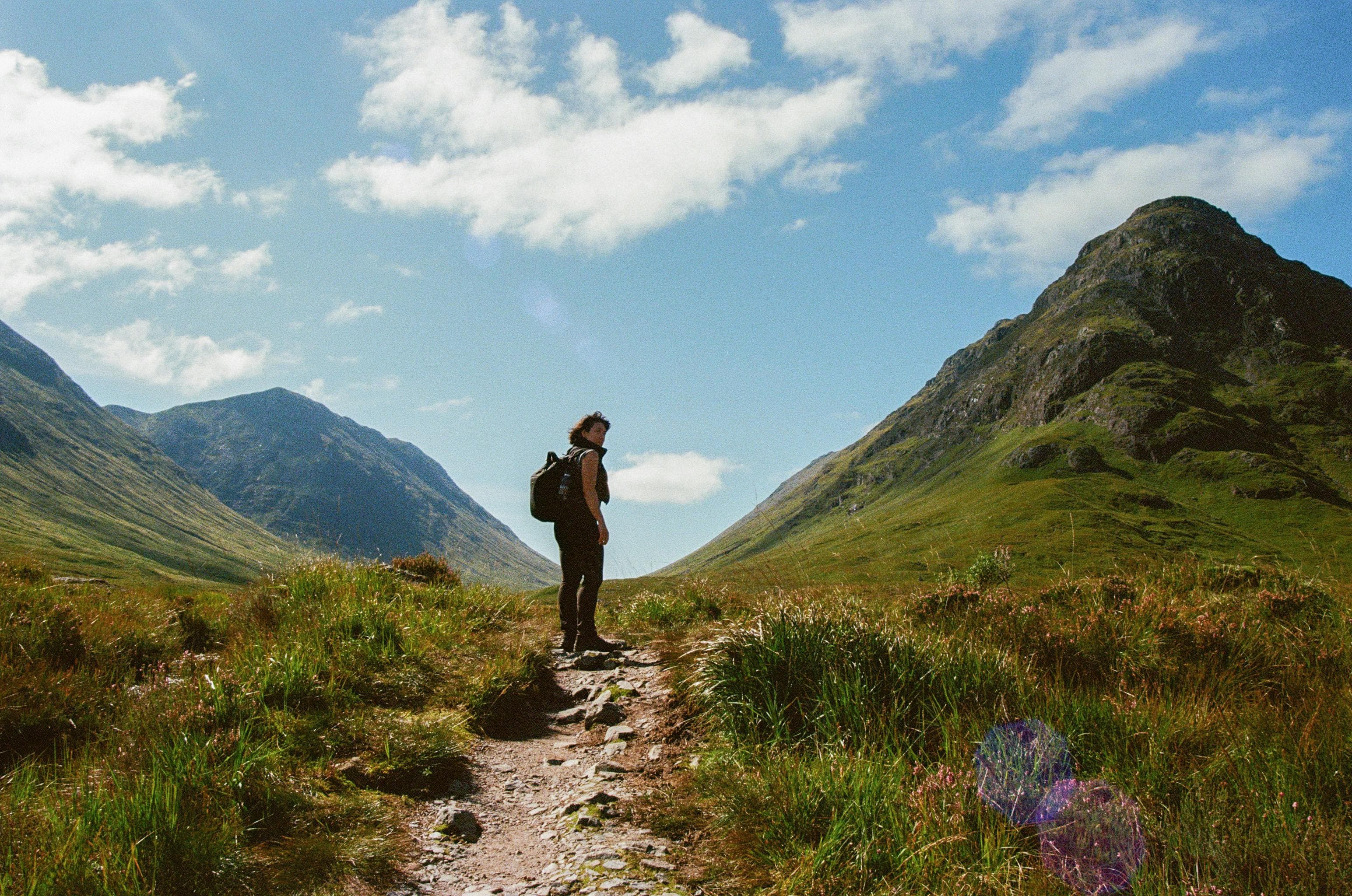
The West Highland Way stands as Scotland's premier long-distance hiking trail, offering an extraordinary 96-mile journey from Milngavie near Glasgow to Fort William at the foot of Ben Nevis. This iconic route showcases the dramatic transition from Scotland's gentle Lowlands to the rugged Highland wilderness, taking hikers through some of the most spectacular landscapes in the British Isles. The trail winds along the pristine shores of Loch Lomond, crosses the remote wilderness of Rannoch Moor, and culminates with the challenging ascent of the Devil's Staircase. Established in 1980 as Scotland's first official long-distance footpath, the West Highland Way attracts thousands of walkers annually who seek to experience authentic Highland culture, diverse ecosystems, and breathtaking mountain vistas. The route passes through charming Scottish villages, ancient forests, and dramatic mountain passes, offering hikers the perfect introduction to Scotland's outdoor heritage while providing access to traditional Highland hospitality and rich cultural experiences throughout the journey.
Milngavie to Balmaha
Milngavie, East Dunbartonshire, Scotland, United Kingdom
Balmaha to Inversnaid
Balmaha, Stirling, Scotland, United Kingdom
Inversnaid to Crianlarich
Stirling, Stirling, Scotland, United Kingdom
Crianlarich to Inveroran
Crianlarich, Stirling, Scotland, United Kingdom
Inveroran to Kinlochleven
Invereran Power Station Road, Lairg, IV27 4EY, United Kingdom
Kinlochleven to Fort William
Fort William, Highland, Scotland, United Kingdom
Checkpoints
6
Distance
154 km
Avg Completion
4-6 days
Best Season
Anytime